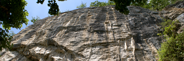
Itinéraire : Depuis Oloron Sainte Marie, prendre la direction Huesca/Saragosse. Passer Etsaut puis juste avant Urdos après un pont, tourner à droite vers l’ancienne gare. Se garer à côté sans gêner les habitants.
Coordonnées GPS parking (wps) : 42.881239, -0.559716
Marche d’approche : 15 minutes
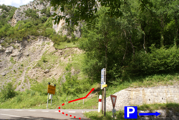
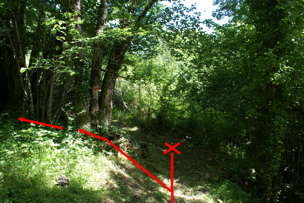
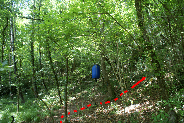
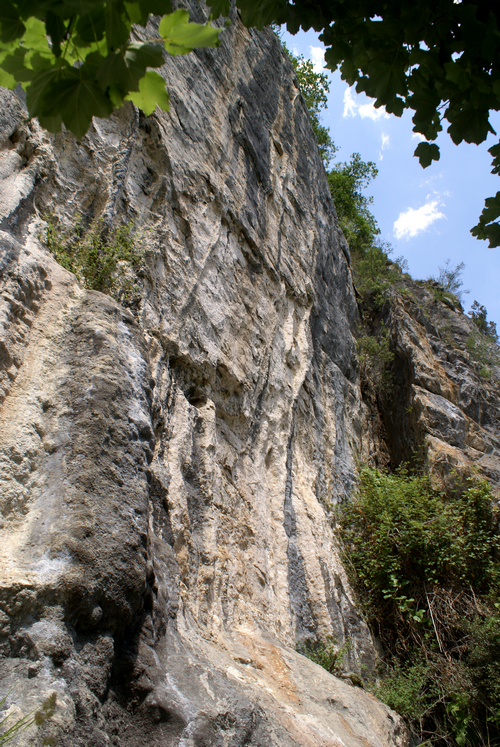
![]()
Bas des voies : Étroit
Type de roche : Calcaire
Profil de falaise : ![]()
![]()
Niveau et nombre des longueurs : 6b+ au 8a
11
Hauteur Maximum : 32m
Orientation :
Équipement : État bon
Réglementation : Aucune restriction

[advanced_iframe securitykey= »2fac7409db78260af9c87858c90e706237bcb42f » src= »https://www.meteoblue.com/fr/meteo/widget/three/urdos_france_2971352?geoloc=fixed&nocurrent=0&noforecast=0&days=7&tempunit=CELSIUS&windunit=KILOMETER_PER_HOUR&layout=image » frameborder= »0″ scrolling= »NO » allowtransparency= »true » sandbox= »allow-same-origin allow-scripts allow-popups » style= »width: 805px;height: 622px »>meteoblue]
[envira-gallery id="2258"]

