
Itinerary:
From St-Jean-Pied de Port, take the direction of St-Michel (D301) then take the 1st right (sign indicating “VVF”) before the town exit sign. Continue for 10 km until you reach the Orisson pass. At the level of the “rocher de la vierge” (on the left), take the track which goes down on the left. Continue for a few kilometres until you see the rock on your right.
Parking GPS coordinates (wps): 43.071513, -1.256098
Approach: 10 minutes
Obvious.
![]()
Bottom of routes: Comfortable
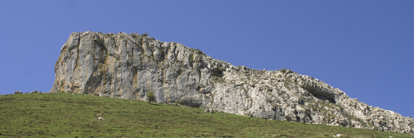
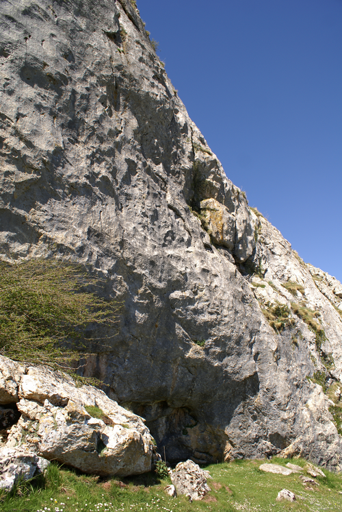
Altitude: 1000 m
Type of rock: Limestone
Rock face: ![]()
![]()
![]()
Difficulty and number of routes: 4 to 8a+
35
Max. height: 30 m
Aspect: 
Gear conditions: Old – Exposed – Bolts and pitons
Regulation:
restricted area according to the nesting periods of raptors
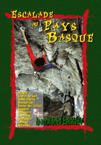
- Escalade au Pays Basque, Alain Etchepare
[advanced_iframe securitykey=”2fac7409db78260af9c87858c90e706237bcb42f” src=”https://www.meteoblue.com/fr/meteo/widget/three/saint-jean-pied-de-port_france_2979207?geoloc=fixed&nocurrent=0&noforecast=0&days=7&tempunit=CELSIUS&windunit=KILOMETER_PER_HOUR&layout=image” frameborder=”0″ scrolling=”NO” allowtransparency=”true” sandbox=”allow-same-origin allow-scripts allow-popups” style=”width: 805px;height: 622px”>]
[envira-gallery id="1995"]